The case for flying over the Southern Alps
A helicopter flight over Aoraki/Mt Cook isn't a sightseeing add-on. For the right journey, it's the centrepiece.
Wild Interior·The CE Way·5 min read··Updated
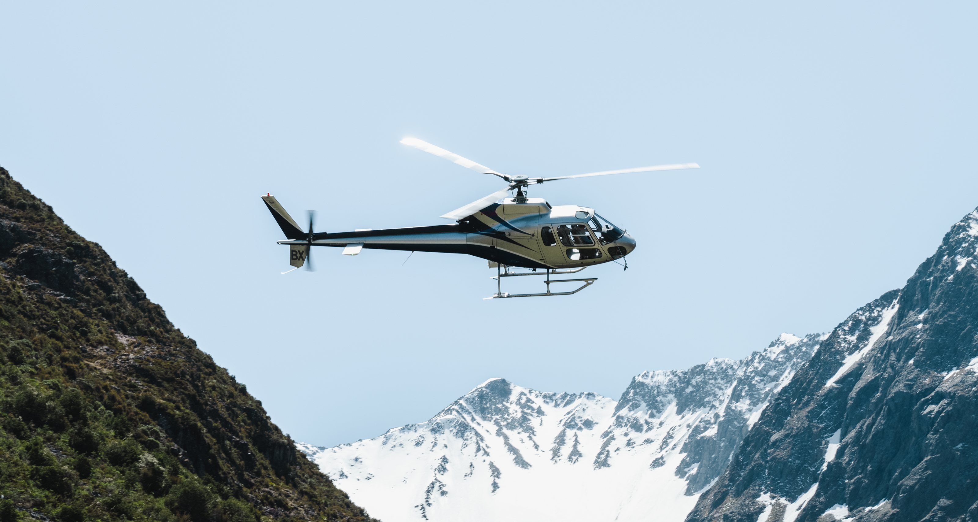
The helicopter sets down on the upper névé of the Tasman Glacier, a flat of old compacted ice at about 2,200 metres (7,200ft), and the engine is shut down. Guests who have stood there describe the same thing: a silence in which the only sounds are the wind off the main divide and, somewhere below, the shifting of ice.
Most people arrive at that landing with a lifetime of expectations about what a helicopter flight over mountains looks like. What they come back with is that quiet.
What this is, and isn't
It is worth being direct about the category of experience, because there is a lot of variation under the heading "helicopter flight over New Zealand".
There are 15-minute scenic flights that circle a landmark and return. They are fine. That is not what we mean here.
We mean a flight of 60 to 90 minutes that departs from the Mackenzie Basin, tracks up the Tasman Glacier, New Zealand's longest at about 23 kilometres (14 miles), lands on the upper névé for time on the ice, and returns via the aiguilles and the Hooker Valley below Aoraki/Mt Cook.
At different points in that flight you're at eye level with peaks that exceed 3,000 metres (9,800ft). You cross the main divide and see the West Coast laid out below you — rainforest and ocean from horizon to horizon. The scale of the Southern Alps from the air is genuinely difficult to process. The topographic model in your head, built from maps and photographs, turns out to be inadequate.
The Aoraki context
Aoraki/Mt Cook is 3,724 metres (12,217ft), New Zealand's highest mountain, and the one Sir Edmund Hillary used to train for Everest. It's been protected within Aoraki/Mt Cook National Park since 1953. The name is often translated as "cloud piercer", but for Ngāi Tahu, Aoraki is first an ancestor. Watching it emerge from the cloud layer on a clear morning from a helicopter is one of the more visually arresting things available in this country.
The combination of the Māori and English names matters here. Aoraki is the name Te Rūnanga o Ngāi Tahu (the South Island's principal iwi) holds for this mountain as an ancestor. The landscape you're flying over carries that weight. We mention it not to create solemnity but because understanding it makes the experience fuller.
How we build it into a journey
The Mackenzie Basin, Tekapo, Twizel and Mt Cook Village, deserves more time than most itineraries give it. We typically suggest two nights: one for arrival and the stargazing (the Mackenzie is one of the world's premier dark sky reserves, and the Milky Way from Mount John at midnight stops people where they stand), and one for the helicopter flight.
If the itinerary connects south to Fiordland or west to the Franz Josef / Fox Glacier area, the helicopter flight can serve as a transition — landing on the West Coast and being met by ground transport. It's a different kind of arrival.
What to look for in the operator
The quality of helicopter experiences in New Zealand varies significantly. The distinction is usually in the pilot — specifically, whether they're guiding as well as flying. The pilots we work with are the ones who've flown this terrain for 10 or 20 years, who know what you're looking at before you do, and who will pause the flight when something worth seeing is below you.
That's the version worth doing. If you want to talk through the options and what makes sense for your itinerary, we are happy to go into more detail.
Written by
The people who compose the journeys. By PPG Tours, New Zealand owned for more than twenty years. How we write
Journeys this piece touches
Places in this piece
Add Curated Experiences as a preferred source on Google (opens in a new tab)
More reading
Wild Interior