South Island
Southland & the Catlins
The bottom of the country: Bluff oysters, waterfalls, and empty roads.
South Island · Nature lovers · Food enthusiasts · Photographers
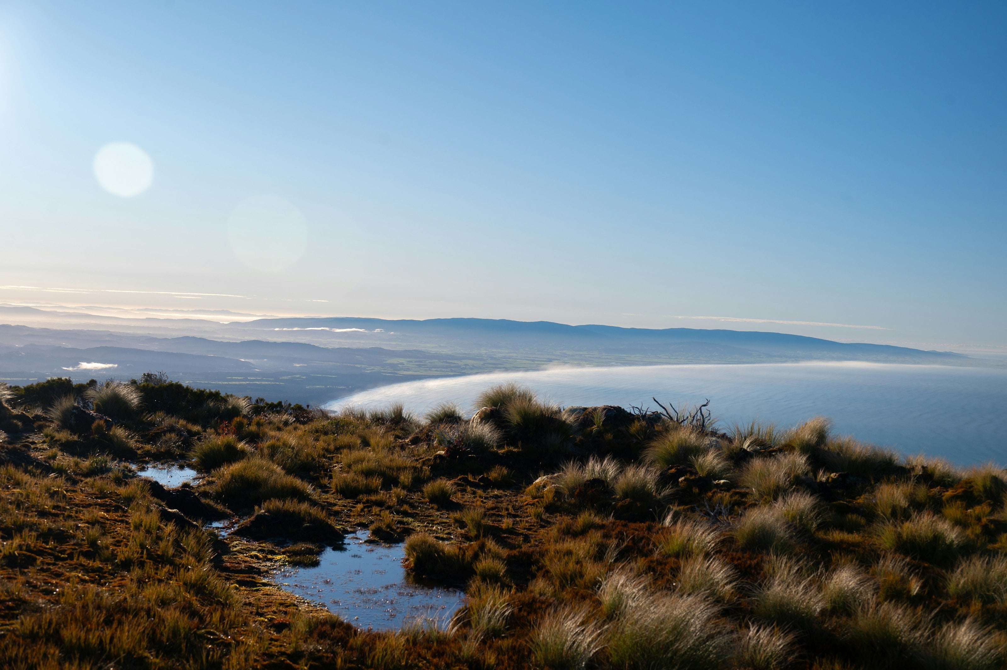
Southland is New Zealand's southernmost region, and it feels it. The light is different down here, horizontal, white, brilliant on clear days and theatrical on the frequent stormy ones. Invercargill is the most southerly city in the Commonwealth, and from here the roads lead either to Fiordland's western edge or to the empty pastoral heartland of the Southland Plains. The Catlins, technically shared with Clutha, is Southland's most dramatic coastline: a wild, forested stretch where waterfalls fall directly to the beach and yellow-eyed penguins nest within walking distance of the car park.
Bluff, at the very tip of the South Island, is the home of the Bluff oyster, harvested from the cold Foveaux Strait each year between March and August, and considered by many the finest oyster in the world. The Bluff Oyster & Food Festival in May is a genuine New Zealand institution. Rakiura / Stewart Island is visible from Bluff on clear days, a short ferry crossing to a place that is 85% national park, where kiwi walk on open beaches at dusk and the Aurora Australis lights the winter sky.
Among its moments
- Bluff oysters, Foveaux Strait harvest experience
- Catlins Coast, waterfalls, penguins, sea lions
- Te Anau, and the road in to Milford Sound
- Invercargill, Bill Richardson Transport World and Burt Munro's Indian at E Hayes
- Lake Manapouri, gateway to Doubtful Sound
- Aurora Australis, southern lights viewing
Southland & the Catlins in photographs
Reading on Southland & the Catlins
The whole journal- New Zealand seafood: from Kaikōura crayfish to Bluff oysters
Food & Wine, 6 min read
Near here
All thirty regions, on the map