South Island
Clutha
Our most powerful river, ending on the Catlins' forest coast.
South Island · Nature lovers · Photographers · Culture & history
The Clutha District is defined by New Zealand's most powerful river, the Clutha / Mata-Au, which carries more water to the sea than any other river in the country, draining the lakes of the Mackenzie and Central Otago through a series of gorges and plains to the Pacific coast. The river valley is gold country: the rushes of the 1860s left a legacy of dredge remnants, historic settlements, and a pioneer spirit that the region hasn't entirely lost.
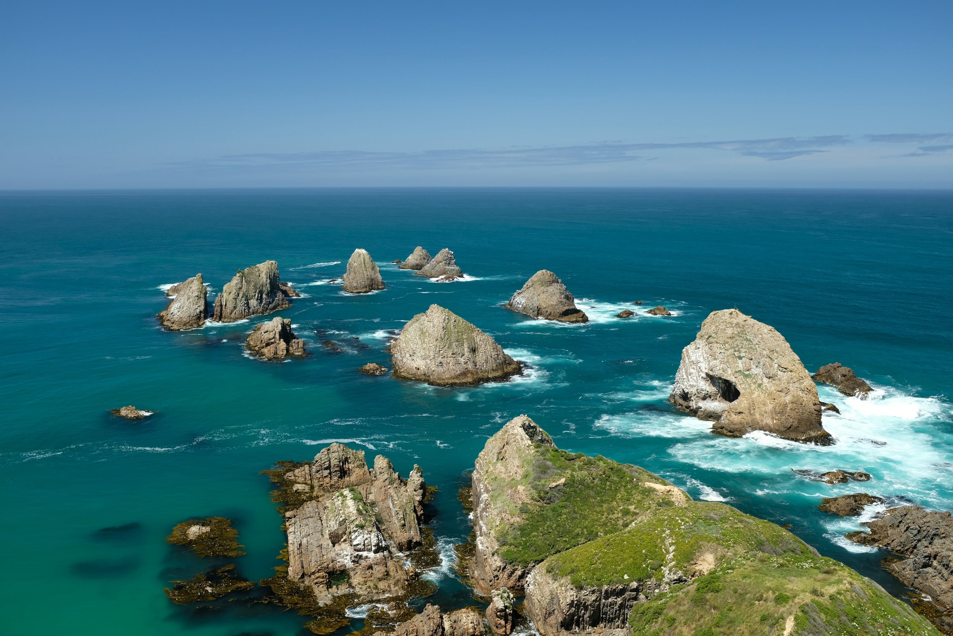
The Catlins, on the district's southeastern coast, is the reward for those who follow the road south from Balclutha. This is one of New Zealand's most biodiverse coastal areas: Nugget Point Lighthouse above a sea stack archipelago, Cathedral Caves accessible only at low tide, a Jurassic forest turned to stone at Curio Bay, and the New Zealand sea lion, among the rarest in the world, hauling out on beaches where they seem genuinely surprised to see you.
Among its moments
- Nugget Point Lighthouse and sea stacks
- Cathedral Caves, tide-dependent access
- Curio Bay, fossilised Jurassic forest
- New Zealand sea lions on the beach
- Clutha River gold-panning heritage trail
- Owaka Museum, Catlins pioneering history
Clutha in photographs
Near here
All thirty regions, on the mapSouthland & the Catlins
The bottom of the country: Bluff oysters, waterfalls, and empty roads.
Discover more